
Poklon to Vojak: The Step-by-Step Trail Guide to Istria’s Highest Summit
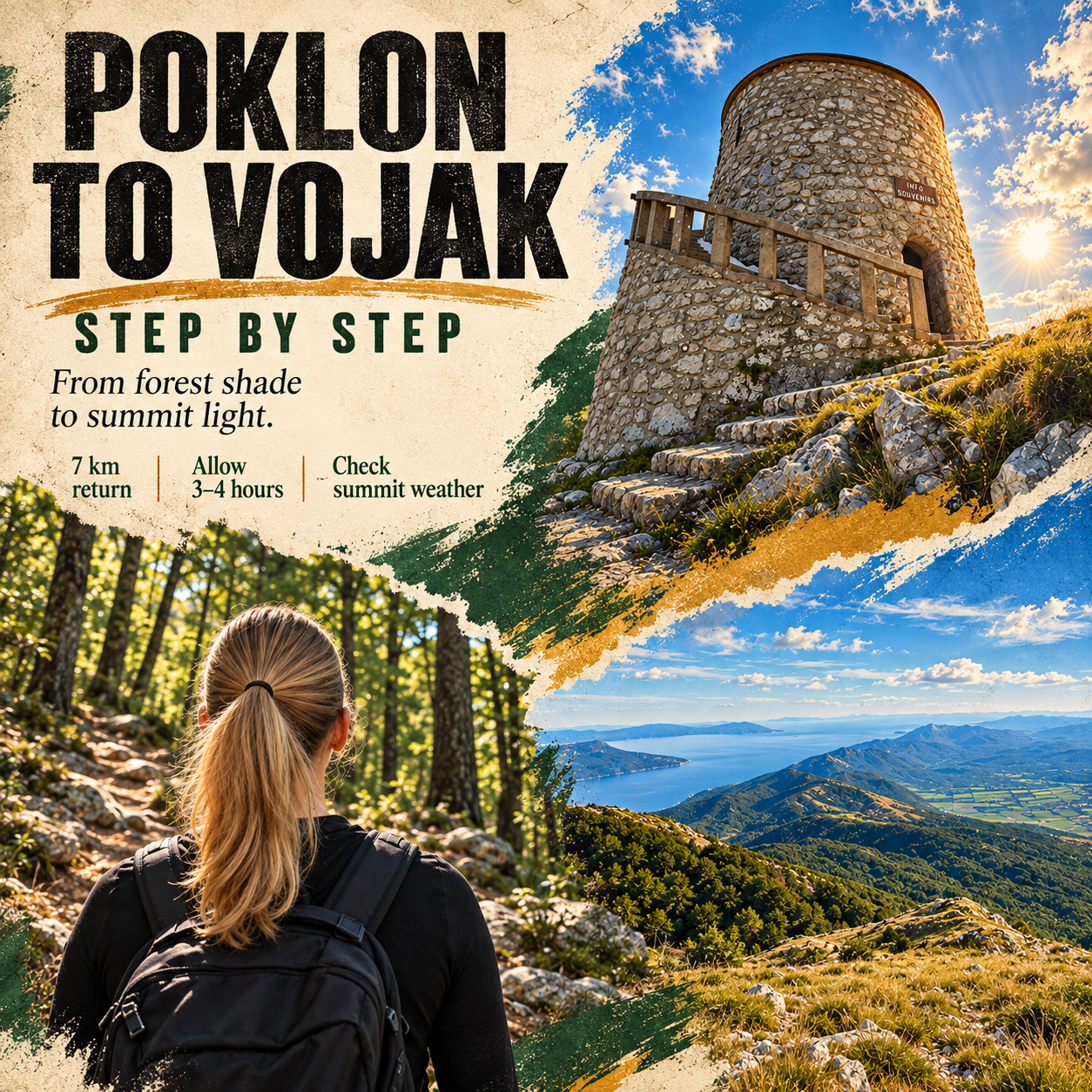
The sea is still part of the day, but it is no longer beside your towel. On the walk from Poklon to Vojak, it becomes a blue distance below the mountain. Forest gives way to a rocky summit, and the stone tower supplies a very definite finish to the climb.
For visitors staying in Rabac or Labin, this is a proper mountain outing rather than an extra stop squeezed between beaches. The useful question is not simply how high the summit is. It is how to reach the right starting point, choose the right route and leave enough time to enjoy the top without rushing the descent.
This guide follows the classic Poklon–Vojak route and returns the same way. It separates the optional Plas extension, explains the 2026 parking charges and gives you a practical sequence to follow alongside current trail signs and a proper walking map.
Key Takeaways

A return walk, not a transfer
The classic route is listed at 7 km in total. Your car remains at Poklon.

Allow a generous half-day
Plan roughly 3–4 hours on the mountain, including stops; driving is additional.

Pack for the summit
Wind, cloud and wet rock matter more than the temperature at the beach.

Keep Plas optional
The educational trail is a separate choice, not a compulsory part of the basic return walk.
The route in one minute
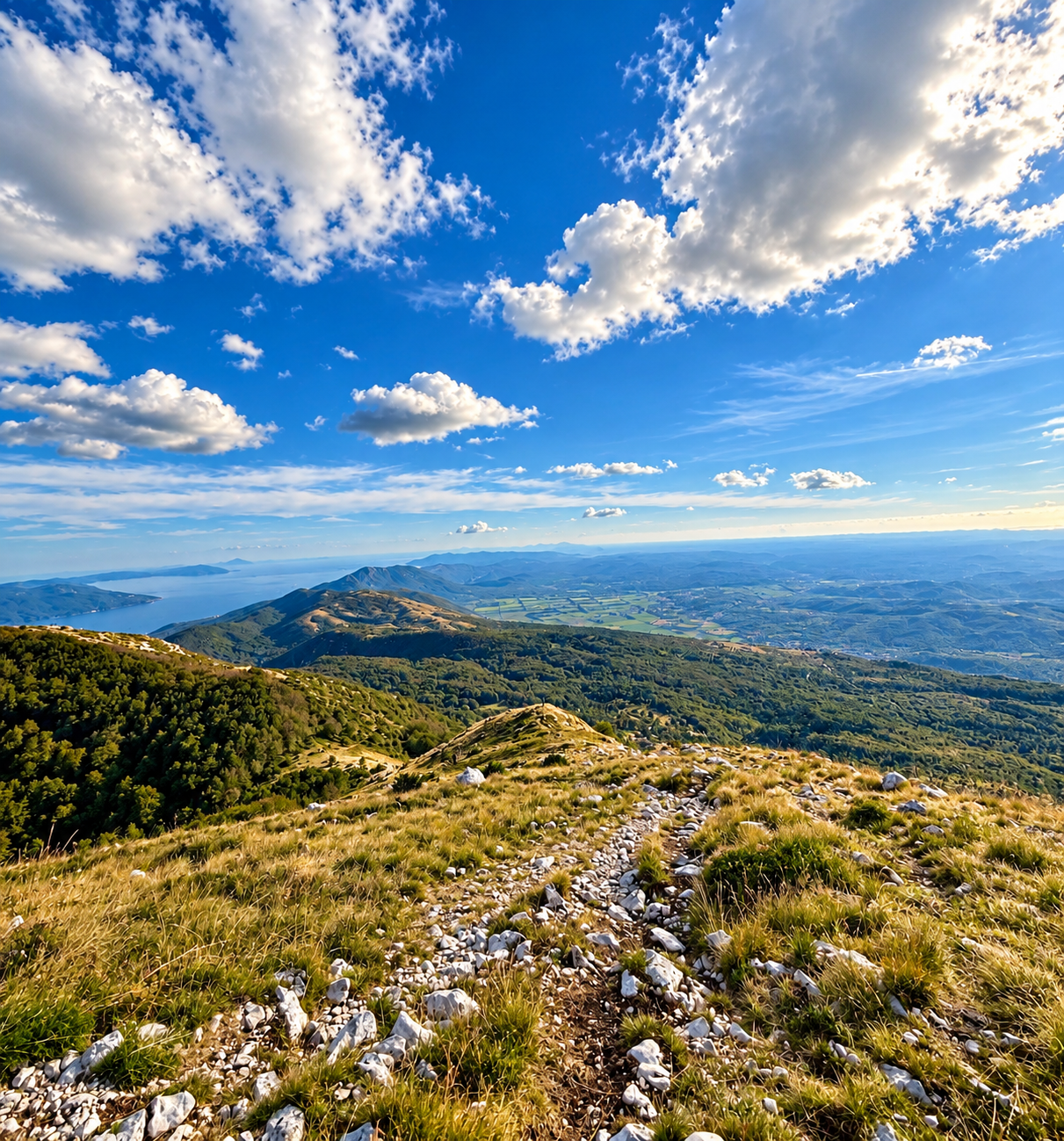
The park’s official hiking list gives Poklon–Vojak–Poklon as 7 km and classifies it as easy. Poklon is around 922 m above sea level; the park lists Vojak at 1,401 m, while some mountaineering references use 1,396 m. For planning, think roughly 500 m of climbing, not a level seven-kilometre stroll.
The Opatija mountaineering club lists 1 hour 20 minutes for the classic ascent. That is a walking reference, not a deadline. A first visit with photographs, breathers and a summit stop deserves about 3–4 hours overall; slower groups should allow more.
The distance and ascent suggest a sustained uphill effort. Roots, uneven stones and slippery ground can make the walk feel harder than its simple route grading implies. This guide assumes dry, snow-free conditions and reasonable visibility. It is not a winter route assessment.
Step 1: arrive at Poklon, not at the summit
Use the Poklon Visitor Centre as your navigation reference, then follow the local signs for the appropriate parking area and trailhead. Do not enter Vojak as a driving destination and assume the final mountain road is public access. The park explicitly describes the summit access road as closed to ordinary car traffic.
Check the driving route from your accommodation on the morning of the trip. Road conditions and your chosen approach affect the journey, so an attractive summit forecast is not a reason to leave late. Keep the day flexible enough to deal with a full parking area or a slower drive.
Park only where permitted, read the tariff and restrictions where you leave the car, and keep access clear. Before putting the phone away, save your parking location. Download the walking map in advance rather than relying on a mobile signal once you have started climbing.
Step 2: find the marked route to Vojak
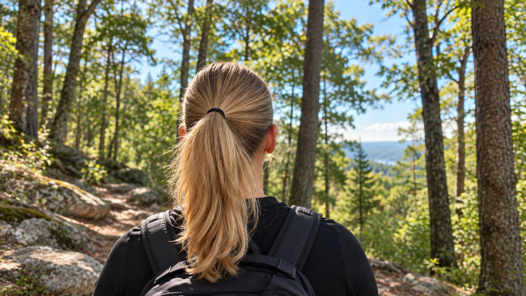
At Poklon, find the hiking signposts for Vojak and the marked mountain path. Several walks start in this area, so the presence of other walkers is not enough to identify your route. Check the destination on the sign against your offline map before setting off.
Begin at a pace that lets everyone speak comfortably. The first part of the day is where an overenthusiastic start tends to create an unnecessarily long stop later. Adjust clothing early, while you are still close to the starting point, and keep your drinking water accessible.
The route descriptions include crossings of the summit access road. At each crossing, look for the continuation of the marked footpath; do not automatically turn along the asphalt. Current signs, closures and park advice take precedence over any written description, including this one. If the continuation is unclear, stop and check your map instead of improvising a shortcut.
Step 3: keep a steady rhythm through the forest
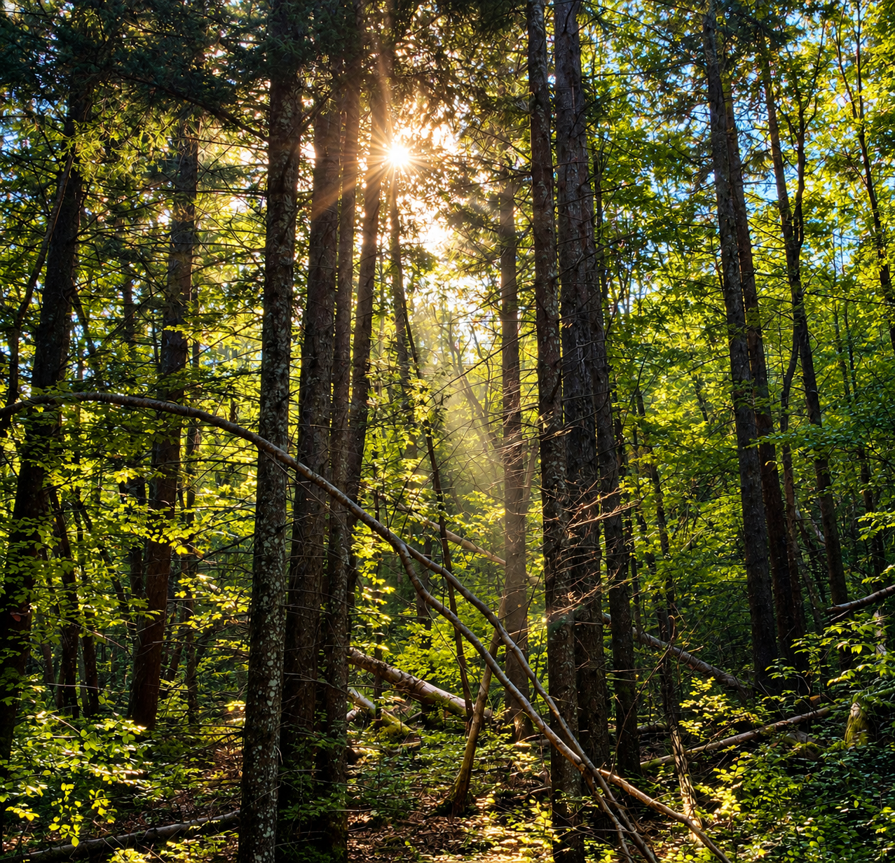
Much of the ascent is a forest walk, which is part of its appeal. The scenery changes at a human pace: trees close around the path, patches of light shift across the ground and occasional openings make the height gained feel more tangible. Do not expect an uninterrupted sea panorama from the first few minutes.
Use short pauses before you become exhausted. A small snack, a drink and a clothing adjustment usually work better than waiting until somebody is cold, hungry or struggling to keep up. Allow the slowest member of the group to set the pace, particularly if they will also need time on the descent.
Treat wet roots and polished or loose stones with care. Shoes with a reliable grip matter more here than a fashionable hiking outfit. Trekking poles can help with balance, especially on the way down, but they do not make an unsuitable surface safe. Carry the water you need; do not plan the day around an unverified spring or an open refreshment point.
Step 4: separate the summit route from Plas
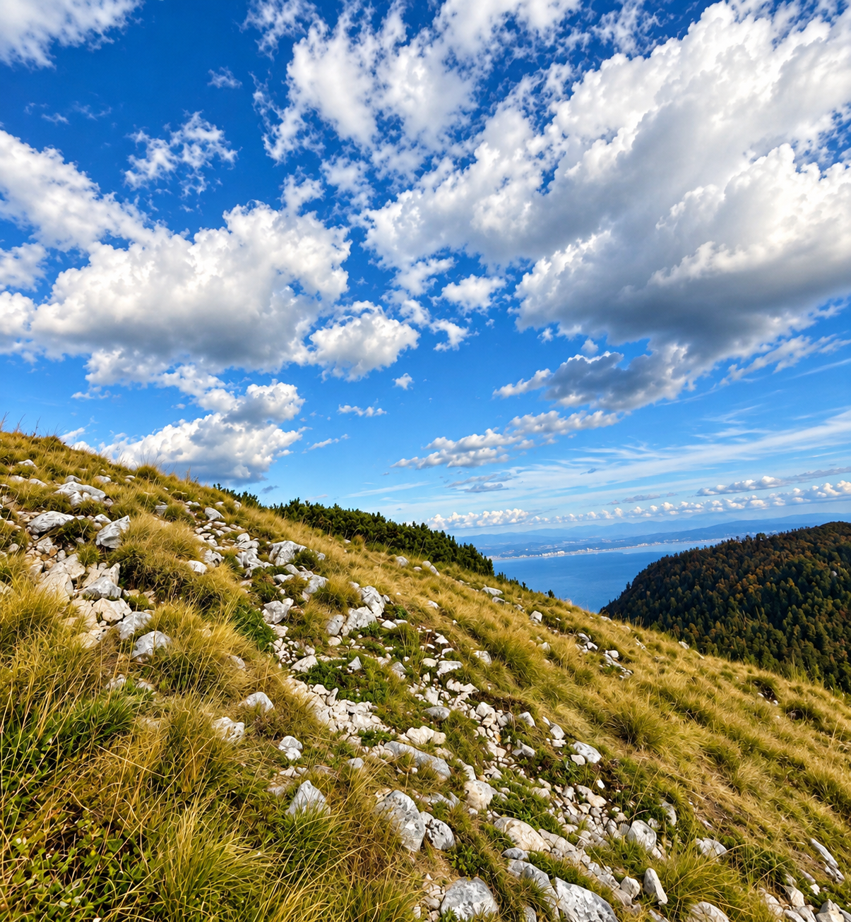
As you approach the upper mountain, keep following the signs for Vojak. The Plas educational trail belongs to the same walking area, but it is not simply another name for the direct ascent. If this is your first visit and your main aim is the tower, stay with the straightforward summit-and-return plan.
The park lists Plas itself as a 2 km educational trail taking about 1–1.5 hours. Those figures describe the educational trail, not the entire walk from Poklon. Its access and overlap with your chosen route need to be checked on the park trail information and map.
The park also describes a guided Poklon–Vojak–Plas–Poklon outing of approximately four hours, rated medium. Treat that as a different itinerary. Add it only if the group still has the energy, daylight and weather margin; do not discover at the last junction that the return you selected is longer than expected.
Step 5: enjoy the tower without chasing the photograph
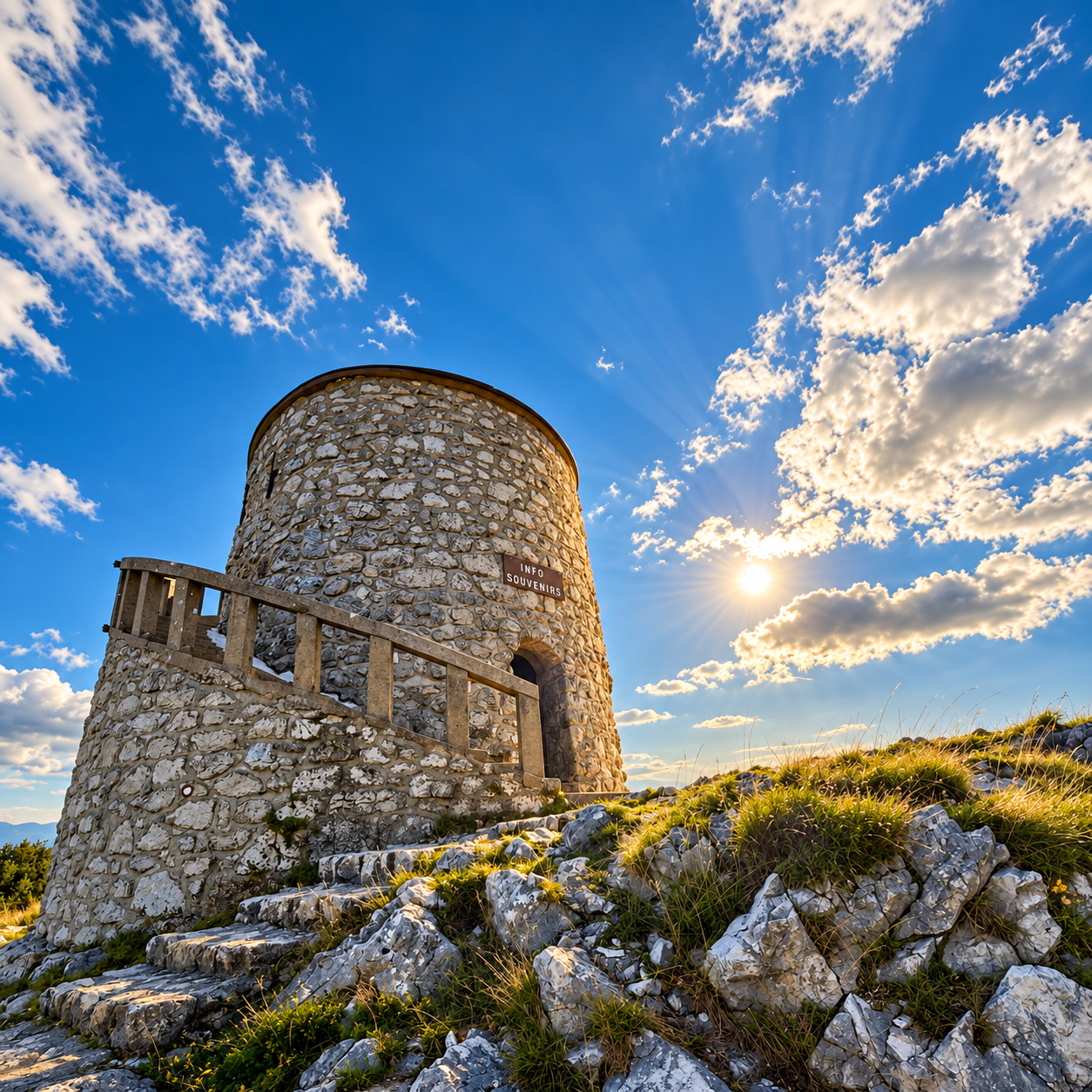
The tower is the visual reward, but the transition matters just as much: from forest shade to summit light. Near the top, stop somewhere secure to put on an extra layer before standing around for photographs. The temperature you felt while climbing is not the temperature you will feel while resting in wind.
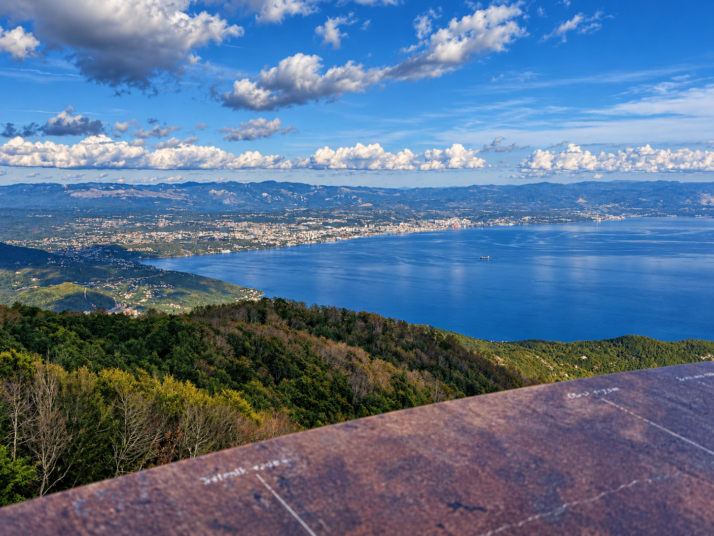
In clear conditions, the summit opens towards Kvarner, its islands and the Istrian landscape. Visibility is conditional, not part of an admission ticket. Low cloud can replace the panorama entirely, and distant islands should not be confidently labelled when haze hides their outlines.
Use the tower steps only when access is open and conditions allow. Give people room to pass, keep bags close, and avoid blocking the staircase while framing a shot. A photograph from stable ground is preferable to leaning over a wall or stepping onto exposed rock.
For a small photo story, take one wide view, one architectural detail and one picture that shows the walking experience. You do not need to reproduce the same panorama ten times. Put the phone away for part of the stop, too: the scale of the landscape is the reason to be here.
Step 6: make the return a deliberate part of the hike
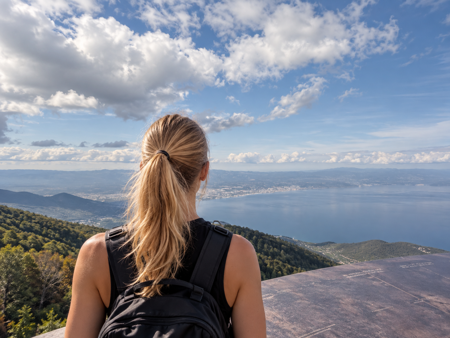
For the basic itinerary, return by the same marked route towards Poklon. Recheck signs at junctions rather than trusting that a downhill path must lead to your car. Tired legs, loose stones and a moment of distraction can make the descent more awkward than the climb.
Keep some food, water and daylight in reserve. If one member of the group is moving slowly, arrive together rather than splitting into a fast group and somebody walking alone behind. Stop for photographs where the path allows others to pass.
Once back at Poklon, decide whether you still want to visit the exhibition or find refreshments. Check opening hours before counting on either. The sensible end to a mountain day is not a sprint to an attraction’s closing time; it is enough time to change footwear, drink something and drive back comfortably.
Parking and visitor-centre prices for 2026
The official tariff effective from 19 February 2026 lists the following prices. Parking and exhibition admission are separate items; do not assume one includes the other. The website heading still mentions 2025, but the effective date on the tariff is explicitly in 2026.
| 2026 item | November–March | April–October |
|---|---|---|
| Car parking / day | €5 | €8 |
| Exhibition / adult | €6 | €10 |
| Exhibition / child aged 7–18 | €4 | €5.50 |
| Exhibition / 2 adults + up to 2 children | €15 | €23 |
Parking figures are the park’s published daily car tariff, not a claim that every roadside space has the same rules. Follow the signs at your chosen car park. For the centre, check current opening hours before your trip; the exhibition is an optional addition, not a condition for enjoying the walk.
The centre can give the day a useful second layer, particularly if somebody is interested in the mountain beyond the summit photograph. Leave enough time for a real visit rather than treating it as a hurried indoor detour. If the weather rules out the hike, check that the centre is open before driving up specifically for it.
What to pack, and when to change the plan
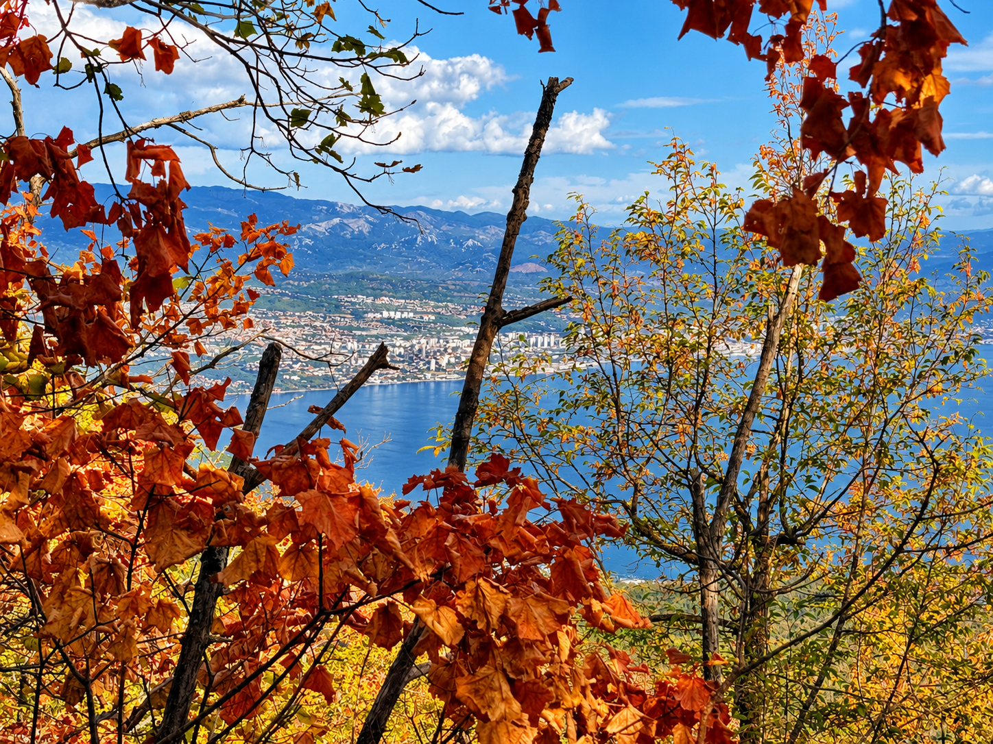
Take grippy walking shoes, water, food, a warm layer, waterproof and wind-resistant outerwear, sun protection, a charged phone, an offline map and a small first-aid kit. A headtorch is a sensible backup, not permission to start a first visit too late. Tell somebody your route and expected return time.
Check the mountain forecast, especially wind, thunderstorms, visibility and freezing conditions. A sunny coastal forecast is not enough. If thunder is forecast during your walking window, choose another day; if you hear it while out, abandon the exposed summit objective and seek a safer return. Follow the park’s mountain safety advice.
Snow or ice changes the nature of this walk. Do not apply a dry-season timetable or an easy grading to winter conditions. Strong wind, poor visibility or a group already struggling on the ascent are also valid reasons to turn around. There is no requirement to reach the tower just because you have paid for parking.
In an emergency, call 112 and describe your location, what happened and the condition of the affected person. Share coordinates if available. Do not leave the marked route in search of a guessed shortcut back to the road.
Fit the mountain into a Rabac holiday
Give this outing a clear place in your itinerary rather than treating it as a bad-weather substitute for swimming. The coast can be too windy for your preferred beach and the summit can be even less suitable. Choose the day around mountain conditions, then keep the afternoon flexible.
If you prefer staying closer to your accommodation, compare the Sentona trail between Labin and Rabac. It is a different outing, not a weather-proof fallback: check its own surfaces and conditions. Our guide to outdoor activities in Rabac offers more ways to balance an active holiday.
The biggest improvement to the day is often a simpler schedule. Walk, take a proper summit break if conditions permit, and return without needing to race to the next booking. A mountain view is more rewarding when you still have time to look at it.
Frequently Asked Questions
Is Poklon to Vojak suitable for beginners?
It can suit fit beginners in dry, clear conditions who are comfortable with a sustained climb and uneven ground. The official easy classification does not mean flat, step-free or suitable in all weather. Start conservatively and turn back if the group is not comfortable.
Can we bring a pushchair?
Not on the classic marked mountain path described here. Roots, rocks and gradients make it unsuitable for a standard pushchair. Ask the visitor centre about current accessible options rather than assuming the summit road provides a suitable alternative.
Can we drive all the way to the tower?
Do not plan to drive your own car to Vojak. The park states that the summit road is closed to ordinary car traffic. Any organised transport is a separate service to confirm with the park; it is not guaranteed by the presence of a road.
Do we need to include the Plas trail?
No. The basic itinerary returns along the ascent route. Plas is an optional addition that should be planned using the current trail map, your available time and the conditions.
Will we definitely see the islands?
No. Clear weather can reveal a broad Kvarner panorama, but haze and cloud can hide it. Choose a day for safe conditions first and good visibility second; never prolong an exposed summit stop to wait out approaching bad weather.
A clear route, with room to enjoy it
Poklon to Vojak works best when the practical decisions are made before the first step: where to park, which trail to follow, what weather to expect and when to turn around. Then the walk can be what you came for—a few hours of climbing through the mountain, with the coast appearing in an entirely different scale below.